Downpours, gales and cold Antarctic blast on the way
Heavy rain, severe gales and snow are forecast to hit the country this weekend just as the school holidays kick off.
MetService is forecasting one of the most widespread severe weather events this year with a blast of cold Antarctic air following downpours and high winds.
"There's quite a significant event which is developing, virtually the entire country will see some impact from this system," MetService meteorologist Andy Best said.
Winds gusting up to 130km/h will hit the South Island and lower North Island from tomorrow afternoon, and the rest of the North Island on Sunday.
The West Coast of the South Island will have heavy rain over the weekend.
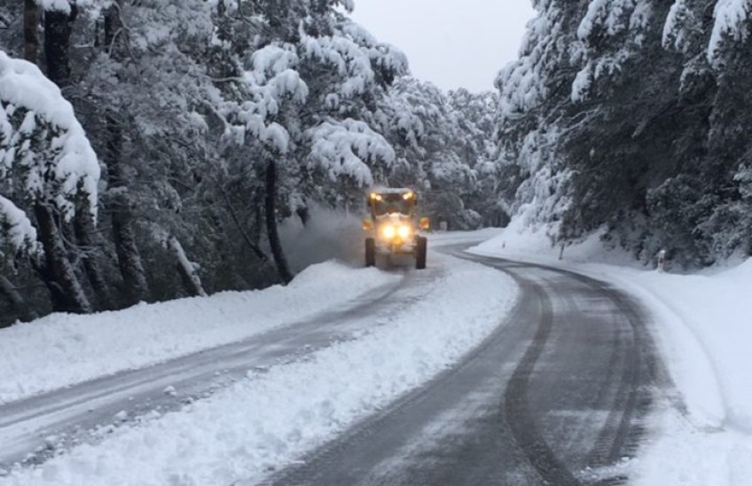
MetService warns transport disruptions are likely, along with challenging conditions for livestock in the South Island early next week as heavy snow falls to low levels
The low pressure system will head across the Tasman Sea on Saturday, dragging warm air ahead of it.
"A strong jet stream deepens this low, which brushes past the far south early Sunday morning," MetService forecaster Tom Adams said.
"That low is expected to be around 970hPa when it passes us, the deepest low in our neck of the woods for a long time."
The warm air will bring widespread rain which will be heavy in some areas, but Adams said it was the wind that had the greatest risk of causing widespread disruption.
Gales will hit many parts of the country, including areas that don't often see strong wind, he said.
"Saturday morning will be a good time to prepare for windy weather. The public are advised to secure their properties and boaties should check moorings before strong winds arrive."
The low is fast moving, and the band of rain will be short-lived for many northern and eastern areas.
The winds also start easing on Monday, but the "sting in the tail" is cold Antarctic air dragged up to New Zealand behind the low.
That will leave snow on most alpine passes, and Ruapehu, and large southerly swells with the risk of inundation on both coasts.
Snow is expected in Southland and Otago down to 200m to as low as sea level which could cause headaches for farmers during lambing season.
MetService said people travelling for the school holidays should check its website today for updates on the worst-hit places.
"It's not just the weekend ... by Monday morning down through Fiordland, Southland and lower and interior Otago winds will be hustling again, in exposed areas getting up to 100 kilometres [an hour].
"By midday Wellington will be getting strong west and north-west gusts, and we'll do it all again."
As of Friday morning, this low is near Tasmania, and will continue to strengthen over the coming days. pic.twitter.com/3Z2TB917A3
— NIWA Weather (@NiwaWeather) September 24, 2020


