MetService warns southerners more heavy snow to come
 Share
Share
It may feel like you've heard this before, but a fresh round of snow advisories have been issued this morning (Saturday) by the national weather forecaster, which is telling southerners to prepare for potential travel disruptions and power outages - again.
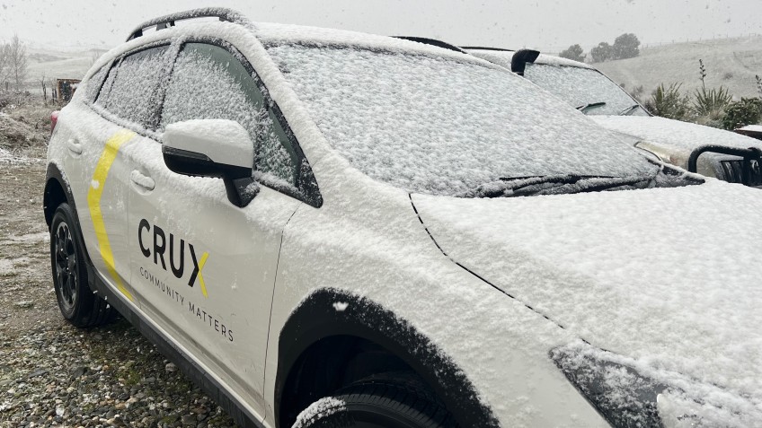
The news comes a day after snow fell heavy enough in parts of inland Otago to force school closures and shut key highways.
MetService has put in place a heavy snow watch for Queenstown Lakes and Central Otago for the 12 hours starting from 10am Sunday.
It expects periods of heavy snow above 500 metres, where snowfall amounts may approach warning criteria.
There is a high chance of the weather 'watch' upgrading to a 'warning', it says.
MetService thinks travel disruption and damage to trees and powerlines is possible, and cold conditions may cause stress for livestock.
"Prepare for snow, cold temperatures, and possible power outages," it says.
"If you must travel, drive cautiously, and ensure you have snow chains, sleeping bags, warm clothing, and emergency items."
Road snow warnings have been issued for the Crown Range, the Lindis and Haast Passes, and the Milford Road, as well as for key highways further north.
A front moving slowly northeast over the lower South Island, preceded by moist northwesterlies and followed by a much colder southeast flow, is responsible for the spring storm.
Keep up to date with weather forecasts here and state highway conditions here.


TOP STORIES