More lake level rises - better next week
 Share
Share
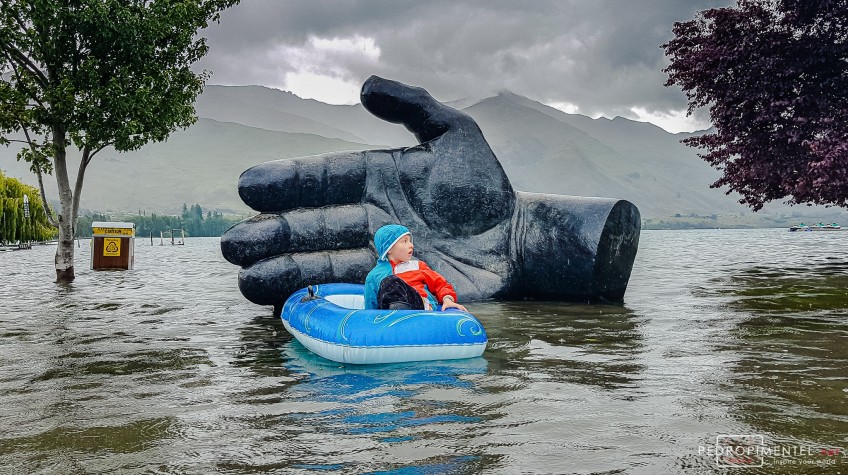
Main Wanaka Flood Image credit: Pedro Pimentel.
Here's the latest update from the Otago Regional Council.
Rain as forecast by Metservice in the Otago headwaters overnight has been as expected, and rivers feeding Lakes Wanaka and Wakatipu are still rising slowly.
However, the weather outlook for the coming days is clear, and lake levels are expected to stabilise and begin falling during that time.
Lake Wanaka

Bremner Bay, Lake Wanaka. Image: Rebecca Emmerson
At 9.05am, Lake Wanaka was at 280.3m and slowly rising.
The lake is expected to reach around 280.4 by late this evening. This prediction does not consider the impact of wave levels due to wind.
This level is above the January 2013 peak (279.4m), but well short of the November 1999 peak (281.3m).
Lake Wakatipu
At 9.05am, Lake Wakatipu was at 311.3 and slowly rising.
The lake is expected to reach 311.4m by Monday morning, not accounting for wind. This lake level for Wakatipu is still well short of historic flood levels such as the November 1999 event (312.8m) and May 2010 event (311.48m).
Downstream river flows
The Clutha / Mata-Au River flow at Balclutha is currently at 1780cumecs and rising slowly. While the weather is expected to be clear throughout the lower catchment, the river will continue to rise as water comes from upstream. Flows are expected to reach about 2000cumecs later
The ORC Alexandra and Lower Clutha Flood Protection Scheme infrastructure is performing as expected, and the river is expected to remain contained within floodbanks.


TOP STORIES