Flood defences in place - it's War on Water
 Share
Share
Here is the latest flooding update from the Otago Regional Council.
The heavy rain predicted yesterday by MetService fell overnight and has dropped off today, with lower intensity rain expected to continue for the rest of the weekend.
There are still significant flows feeding into Lakes Wanaka and Wakatipu from rivers such as the Dart and Matukituki rivers, but these are starting to recede.

Pumping equipment on the Queenstown lake front
ORC expects water levels for Lakes Wanaka and Wakatipu to flatten out soon but they will take time to recede.
Lake Wanaka
At 8.30am, Lake Wanaka was at 280.29m.
Previous expectations were for Lake Wanaka to reach 280.5 – 280.8m by the end of the weekend. The latest modelling predicts Lake Wanaka may reach a lower level of 280.4m. This prediction does not consider the impact of wave levels due to wind.
This level is above the January 2013 peak (279.4m), but well short of the November 1999 peak (281.3m). There is a continued possibility that the lakes could rise again, meaning there is a risk of further flooding there should be more prolonged heavy rainfall.
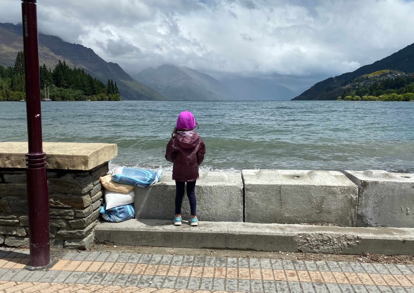
Lake Wakatipu
At 8:30am, Lake Wakatipu was at 311.285m and slowly rising. A 130 metre long concrete flood barrier is bieng constructed by contractors to protect onshore water management and pumping systems.
Our prediction for Lake Wakatipu is largely unchanged from Friday. The lake is expected to reach 311.4m by Monday morning, not accounting for wind. This lake level for Wakatipu is still well short of historic flood levels such as the November 1999 event (312.8m) and May 2010 event (311.48m).
Downstream River Flows
Outflows from Roxburgh Dam are being maintained at 1800cumecs (cubic metres per second).
The Clutha / Mata-Au River flow at Balclutha is currently holding steady at 1700cumecs. As the water flows travel down from the headwaters, this may reach 1800 - 1900cumecs later on Sunday.

Closed public toilets on the Queenstown lake front
The river is expected to be well contained within the Alexandra and Lower Clutha Flood Protection Scheme flood banks.
People operating in the vicinity of the Clutha / Mata-Au river in the coming days need to be aware of the possibility that the river level may rise rapidly because of high rainfall in the headwaters, regardless of the local weather.
When will the water levels in Lakes Wanaka and Wakatipu return to normal?
Should no more rain fall after Sunday, the level of Lake Wakatipu is predicted to drop 0.6m in the next week, taking it to 0.6m above the mean December level. Lake Wanaka is predicted to drop 1.6m, taking it to 1.18m above the mean December level.
ORC modelling based on past events predicts that both Lake Wakatipu and Lake Wanaka will take around 19 days without further rain to return to average December levels (310.2m and 277.6m respectively). This does not mean the lakes will be in flood for 19 days, but is an indicator that lake levels will be high, and consequently river flows will be elevated, for several weeks.


TOP STORIES